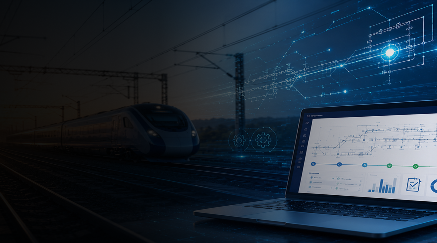
Turning Complex Survey Data into Usable Designs
Modern railway projects generate vast amounts of survey data, from LiDAR scans and land boundaries to orthomosaic imagery and field measurements. Converting this information into a reliable Engineering Scale Plan (ESP) is often a manual, time-intensive process that depends heavily on individual expertise and countless hours of interpretation.


